Hillshading for CoMaps

Terrain relief drawn into the map itself. Rendered offline from elevation data, stored inside each map file, no network and no tile server.

What it changes

Drag the handle.

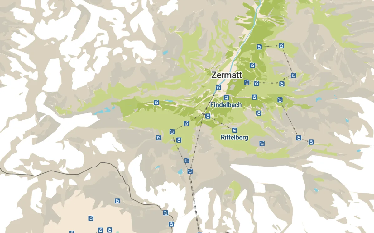
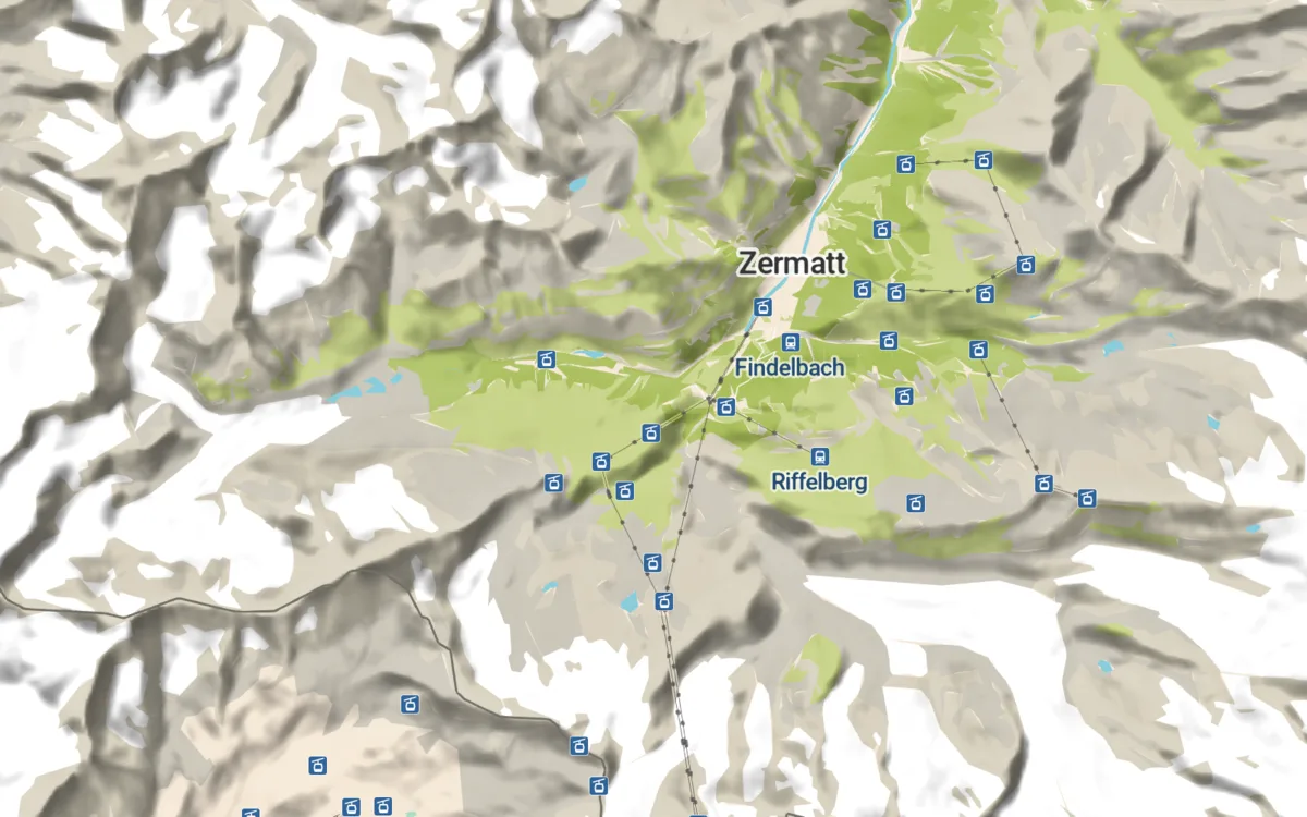
Zermatt without hillshading Zermatt with hillshading withwithout
Zermatt. Which lift goes up where, and how far the valley falls.
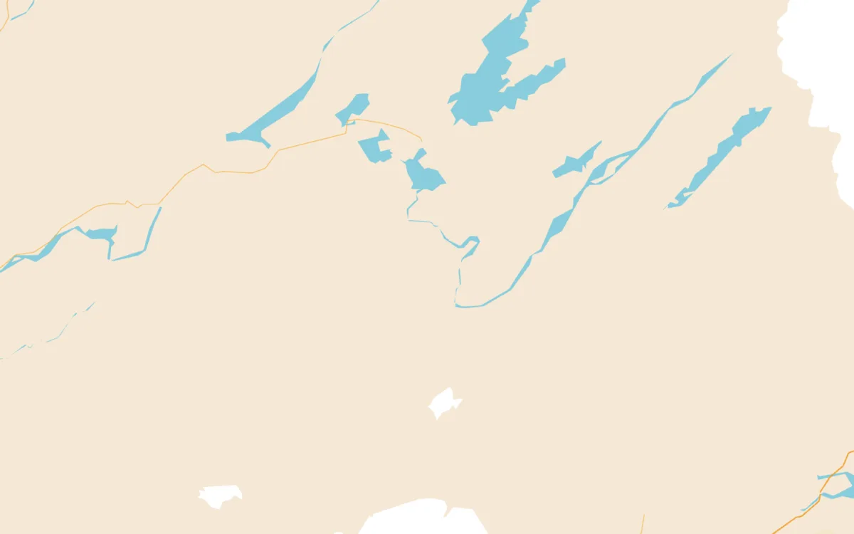
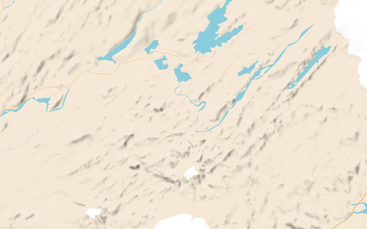
Icelandic highlands without hillshading Icelandic highlands with hillshading withwithout
Icelandic highlands. Barely any OpenStreetMap data out here, so without relief there is almost nothing on the map at all.
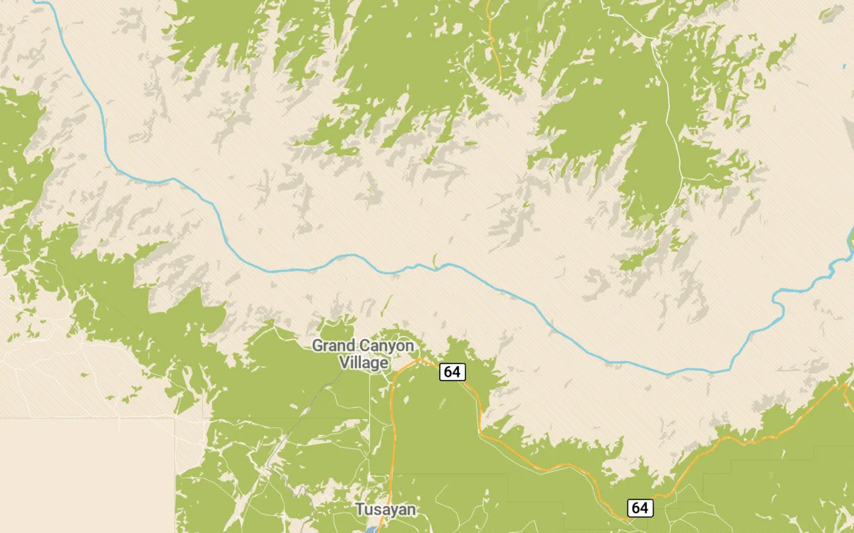
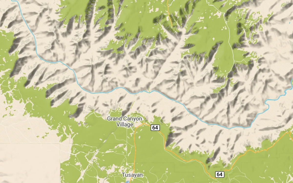
Grand Canyon without hillshading Grand Canyon with hillshading withwithout
Grand Canyon. The side canyons are invisible in the vector data.
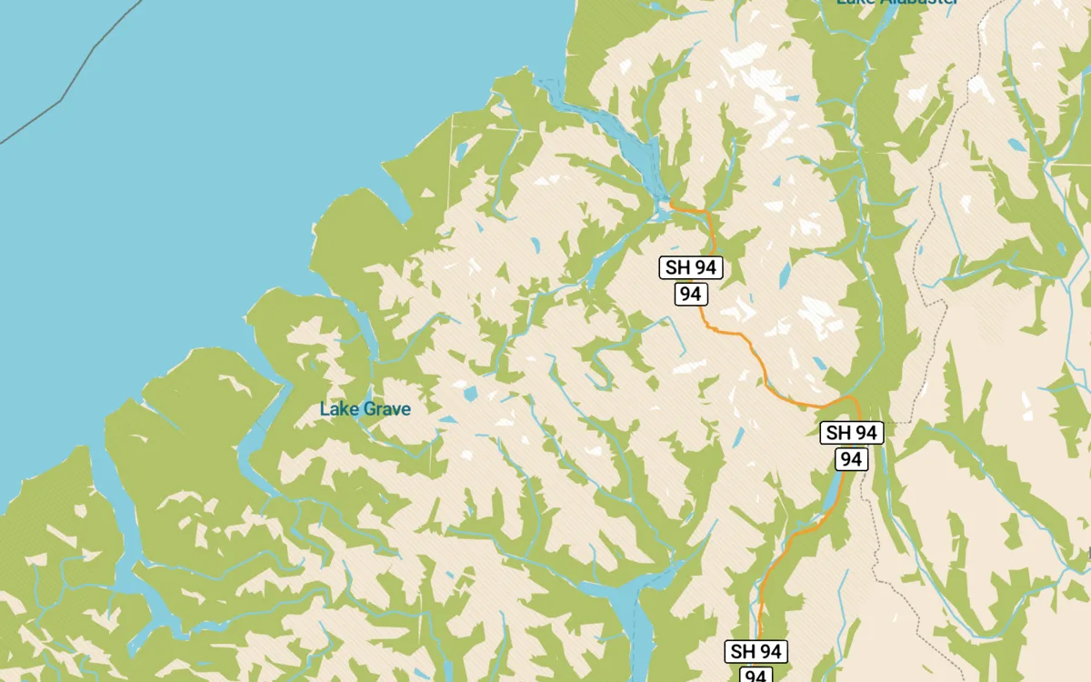
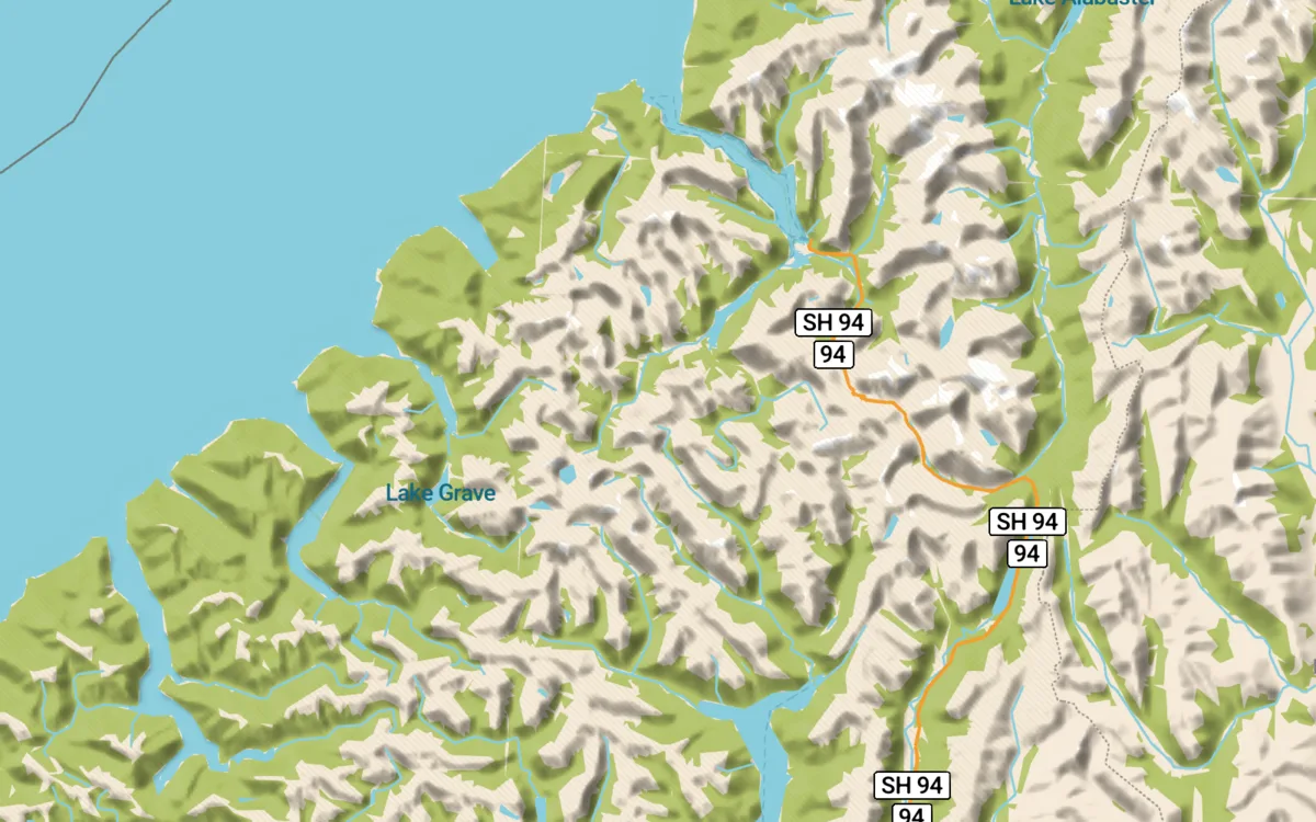
Fiordland without hillshading Fiordland with hillshading withwithout
Fiordland, New Zealand. One road, and the reason it goes where it goes.
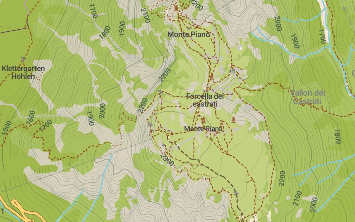
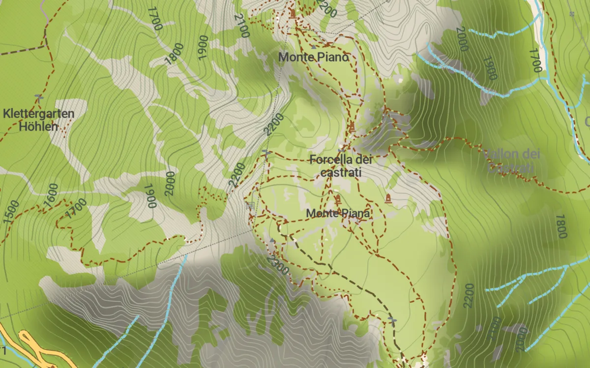
Monte Piana in the outdoors style without hillshading Monte Piana in the outdoors style with hillshading withwithout
Monte Piana above Tre Cime, in the outdoors style. Waymarked trails and contour lines on top of the relief: the contours give the height, the shading gives the shape.

Across styles and terrain

Outdoors style: trails, huts and peaks over the relief.
Dark style, where the relief carries the map almost alone.
Tre Cime, Dolomites. Rock against alpine pasture.
Lofoten. Mountains straight out of the sea.

What it costs

Measured over all 1150 maps of the world, built from Copernicus GLO-30:

+12 %median size increase of a map
+3 %a quarter of all maps stay below this
+87 %a tenth of them go above this
42 MBthe hillshade section of World.mwm

The spread follows area, not detail: dense city maps grow by almost nothing, while large maps with little OpenStreetMap data in them grow a lot. Paris gains 0.0 %, Rotterdam 0.1 %, Greenland 416 %, Antarctica 1337 %.

Try it

Download LewMaps.apk (165 MB)

Android, arm64 / armv7 / x86_64. Installs alongside an existing CoMaps. Offline maps for the whole world, 1150 of them, every one shaded.